![]()
Cycling Marmot Basin, Jasper National Park, Alberta, CAN
This climb begins in the heart of Jasper National Park and offers many of the breathtaking views of majestic steep mountains that we see throughout this extremely scenic and popular national park. While the climb itself is moderately challenging, it is the magnificent views and peaceful surroundings that set this climb apart.
![]()
Ride 14 kilometers gaining 770 meters at 5.4% average grade.
The last 1.5 km are on dirt, but easily manageable on a road bike.
![]()
While the first mile is on moderately travelled Hwy 93A, after turning right at kilometer 2/mile 1.2, there is very little traffic along this peaceful and scenic climb (see slide show). While there is a fairly flat 2 kilometers from 1.6 – 3.5 kilometers, the majority of the climb is in the 5-7% range.
![]()
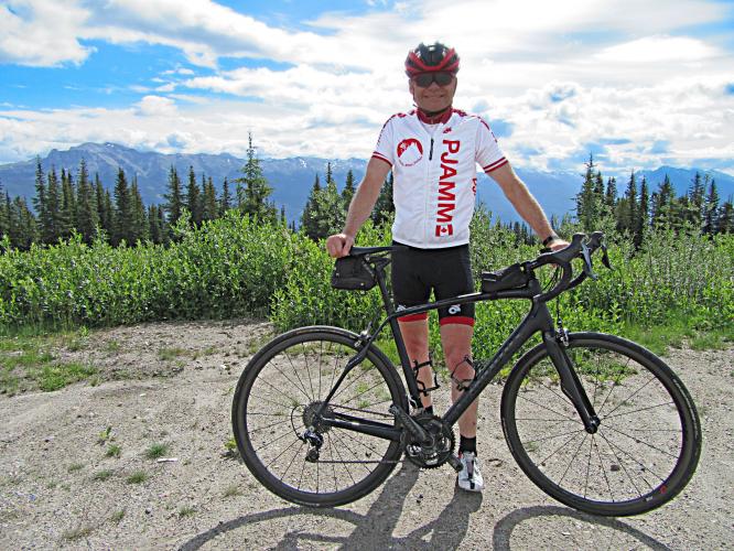
The last kilometer of the climb is past the closed single pipe gate (easy to go under or over) on hard packed dirt/gravel ending at the top ski resort parking lot (lot 3). This final segment of our climb is easily managed on a road bike.
![]()
![]()
Beautiful views along the way; thick forest bordered roadway;
1.5 km of dirt to the finish; end of the climb is at the ski resort parking lot.
The descent is remarkable for the incredible views before us much of the way down on smooth pavement at moderate and generally consistent grade.
Roadway surface and traffic: there is very little traffic along this route – we encountered only a handful of vehicles along the way during our mid-morning July 2, 2016 climb. The roadway is wide and in excellent condition.
Bonus points: We saw a bear and cub cross the road in front of us during our ride
![]()
TOUR OF ALBERTA
![]()
Tour of Alberta (2013-2017) Stage 4 September 5, 2015
Tom-Jelte Slagter (TdF finisher 2014, 2016, 2018; Giro d’ Italia 2012, 2017, Vuelta 2011)
Photo credit: Jeff Barlett, Canadiancyclingmagazine.ca

 We've partnered with Sherpa-Map.com to bring you the best route planning tool. With a PRO Membership you can use this climb as a reference when creating your route.

